


Zillertal in Tyrol: The ideal place for an idyllic adventure holiday
Weekend trip to another world
On one of the warmest and most beautiful weekends this autumn, we decided to take a short trip to the magical Zillertal valley. I love traveling to Austria. My short trip to Vienna last year already enchanted me. The goal of our trip was a hike to the popular Olpererhütte mountain hut. The alpine hike is described as beginner-friendly and enjoyable. However, my feet told me otherwise that evening after the hike. While the hike is certainly doable, its steepness and length of 3,8 km should not be underestimated.
- Zillertal in Tyrol: The ideal place for an idyllic adventure holiday
- Weekend trip to another world
- Where exactly is the Zillertal?
- Climate & weather in the Zillertal: Sunny winter
- 7-day weather forecast for Mayrhofen in the Zillertal
- Hiking & holidays in the Zillertal
- The hike: From the Schlegeis reservoir to the Olpererhütte
- Opening hours and toll to Schlegeis Speicher

Where exactly is the Zillertal?
The Zillertal valley, located in the Austrian state of Tyrol, lies approximately 40 km east of Innsbruck and, with a total of 25 municipalities and around 33.000 inhabitants, is a very popular holiday region in Austria. It is a side valley of the Inn Valley, which traverses the Eastern Alps from southwest to northeast. The Zillertal takes its name from the Ziller River, which flows through the valley from south to north and empties into the Inn River near Strass im Zillertal. A distinctive feature of the Zillertal is that it rises only slightly from Strass im Zillertal (522 m) to Mayrhofen (628 m) and does not encounter any significant valley steps.
Climate & weather in the Zillertal: Sunny winter
The Zillertal valley has a so-called inner-alpine valley climate . A typical characteristic is a large annual temperature range (the difference between the average temperature of the warmest and coldest months of the year). Sunny winters, light winds, and very little fog are particularly typical of the valley .
Monthly average temperatures and hours of sunshine for Mayrhofen (643 m)
| Month | Temperature (°C) | Max Temperatur (° C) | Minimum temperature (°C) | hours of sunshine |
|---|---|---|---|---|
| January | -2.1 | 1.1 | -4.4 | 2.4 |
| February | -0.4 | 4.3 | -3.4 | 69 |
| Mar. | 3.6 | 9.6 | 0 | 130.3 |
| April | 7.6 | 14.1 | 3.3 | 124.1 |
| Mai | 12.7 | 19.7 | 7.8 | 183.5 |
| June | 15.2 | 21.7 | 10.6 | 164.4 |
| July | 17.1 | 23.8 | 12.5 | 183.6 |
| August | 16.5 | 23.2 | 12.3 | 176.9 |
| September | 12.9 | 19.3 | 9.2 | 138.4 |
| October | 8.3 | 13.9 | 4.9 | 87.4 |
| November | 2.3 | 6 | -0.1 | 19.5 |
| December | -1.3 | 1.4 | -3.4 | 11.2 |
| Year | 7.7 | 13.2 | 4.1 | 1290.7 |
7-day weather forecast for Mayrhofen in the Zillertal
Mayrhofen lies at an altitude of 630 meters and has 3.751 inhabitants in the upper Zillertal valley. It is considered a flagship of alpine tourism . Below you will find a 7-day weather forecast for Mayrhofen:
Hiking & holidays in the Zillertal
The region is a true paradise on earth for hikers. Nature can be experienced in all its diversity on 1.400 km of hiking trails.
Not only hikers, but also active athletes get their full enjoyment.
The Zillertal is considered the birthplace of alpine mountaineering and became known for it as early as the mid-19th century. Today, the valley can be divided into four holiday regions:
- First holiday region in the Zillertal Fügen - Kaltenbach
- Zillertal Arena (largest ski area in the Zillertal) with the towns of Zell am Ziller and Gerlos
- Mayrhofen (ideal for hiking, cycling or mountaineering)
- Tux-Finkenberg (year-round ski area)
The Zillertal valley has several large reservoirs , including the beautiful Schlegeis Reservoir. We hiked from the Schlegeis Reservoir up to the Olpererhütte mountain hut.

The hike: From the Schlegeis reservoir to the Olpererhütte
A beautiful hiking route begins at the Schlegeis Reservoir (also known as the Schlegeis Dam), an artificial lake nestled in the Tyrolean Alps. The Schlegeis Dam is arguably the most famous reservoir in the Zillertal Valley and lies at an altitude of approximately 1.800 meters, near the border with South Tyrol. Even from here, the view of the turquoise lake is simply breathtaking. From Mayrhofen, the picturesque lake can be reached by car in about 40 minutes via Ginzling – the route follows the narrow, 13,3-kilometer-long Schlegeis Alpine Road. The drive itself is an adventure, as the alpine road remains in its original condition and passes through a total of four rock tunnels.
Opening hours and toll to Schlegeis Speicher

Depending on the weather, the start and/or end of the season may change. For 2020, however, the following times apply:
Season: End of May to mid-October
Open daily from 06:00 am to 18:00 pm in July and August , and daily from 07:00 am to 18:00 pm in May, June, September and October .
Prices (toll fee) for 1 day:
- Car: €12,50
- Motorbike: €10
- Bus (15 or more people): €3,60 per person
Free parking is available both at the front and rear of the reservoir.
Coordinates of the toll plaza: N 47° 03′ 39.3″ E 11° 44′ 56.5″
September 6th and 13th, 2020 is the so-called “Hiking Autumn” with a 50% discount.
Want to learn more about our hike? You can find a detailed report about our hiking route from the Schlegeis Reservoir to the Olperer Hut here: Hike to the Olperer Hut in the Zillertal Valley.

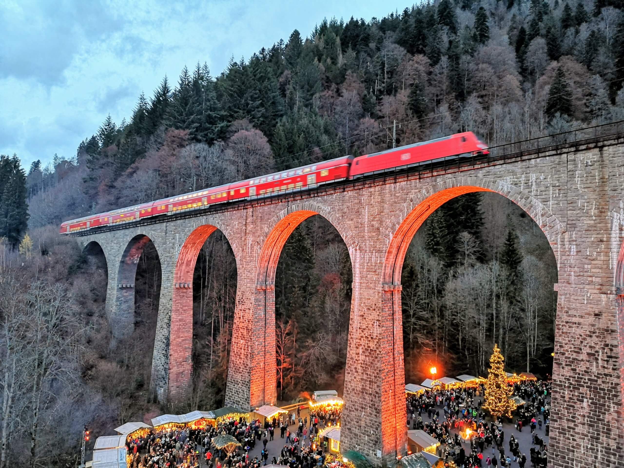

What gorgeous colors! And all of that in the vicinity of a weekend trip 🙂
Numerous relatives have already confirmed to us that the Zillertal is ideal for hiking holidays. So far we have always been drawn to Switzerland for our annual hiking holidays and this year I suggested to my partner to discover Tyrol for the first time. Accordingly, we look around for a suitable apartment in an ideal location.